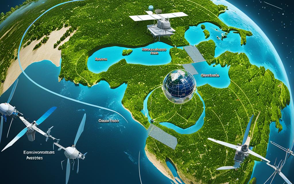
Satellites play a crucial role in global environmental monitoring, providing valuable data and insights into climate change and its impacts. According to the Global Climate Observing System, more than 50% of Essential Climate Variables can only be tracked via satellites. The European Space Agency’s Climate Change Initiative generates reliable and long-term data for 21 Essential Climate Variables, helping to identify our vulnerability to climate change and predict extreme climatic events such as floods, wildfires, and droughts.
Environmental Monitoring Satellites are an essential technological tool helping scientists, authorities, and decision-makers understand the drivers and impacts of climate change. By leveraging satellite technology, we can optimize resource management, develop adaptation strategies, and take proactive measures to mitigate the effects of global environmental changes.
Satellites have revolutionized the way we monitor wildfires, providing real-time data and insights that aid in detection and understanding of wildfire behavior. This technology has proven to be more efficient and cost-effective compared to traditional systems that rely on IoT monitors and cameras. With high-resolution imagery and comprehensive coverage, satellites offer valuable information on the patterns and preferred course of wildfires.
The US National Oceanic and Atmospheric Administration (NOAA) and Moderate Resolution Imaging Spectroradiometer (MODIS) satellites have played a crucial role in detecting wildfires on a global scale. Additionally, NASA’s polar orbiters and geostationary platforms, including Terra, Aqua, and Suomi NPP satellites, contribute to the comprehensive monitoring of fires and resulting smoke.
By leveraging satellite monitoring of wildfires, we gain a better understanding of the behavior and spread of these devastating events. This knowledge not only enhances our ability to detect and respond to wildfires promptly but also aids in predicting their behavior and mitigating their impact on human lives and the environment.
Tracking and Predicting Floods with Satellite Data
Satellite data plays a vital role in tracking and predicting floods, providing valuable insights into their occurrence and potential impact on a global scale. By analyzing weather patterns and soil moisture content, satellites enable accurate flood forecasting and the development of flood risk maps.
Satellite monitoring of floods offers up-to-date information that helps us understand the scale, extent, and potential risks associated with floods. Through the use of advanced satellite technology, scientists and authorities can assess the likelihood of floods and take proactive measures to minimize their impact.
NASA’s Tropical Rainfall Measuring Mission (TRMM) satellite, along with other satellite systems like NASA’s TOPEX/Poseidon and ESA’s ENVISAT, provide crucial data for accurate flood prediction and preparedness. These satellites enable scientists to monitor rainfall patterns, measure water levels, and identify regions prone to flooding.
Satellite data is instrumental in tracking and predicting floods, helping us better understand their scale, extent, and potential risks.
Flood risk maps, developed using satellite data, allow for effective planning and preparation, aiding in disaster management strategies. These maps provide valuable information on flood-prone areas, enabling authorities to implement preventive measures and ensure the safety of communities at risk.
To summarize, satellite monitoring of floods, along with flood prediction and the development of flood risk maps, are essential tools in managing and mitigating the impact of floods. By leveraging satellite data, we can enhance our understanding of flood patterns, improve early warning systems, and minimize the devastation caused by these natural disasters.
Advantages of Satellite Monitoring in Flood Prediction:
Accurate tracking of weather patterns and rainfall intensity
Real-time monitoring and early warning capabilities
Precise measurements of water levels and flood extent
Identification of flood-prone areas for effective planning
Improved disaster management strategies and preparedness
Understanding Heat Waves with Satellite Technology
Heat waves are extreme weather events that can have severe impacts on human health, agriculture, and infrastructure. Understanding and forecasting heat waves is crucial for effective planning and mitigation strategies. Satellite technology plays a key role in monitoring and predicting heat waves, providing valuable data and insights.
Satellites equipped with advanced instruments, like the Copernicus Sentinel 3’s Sea and Land Surface Temperature Radiometer, enable accurate temperature measurements of the Earth’s surface. This data helps in identifying the intensity, duration, and spatial extent of heat waves, contributing to precise heat wave forecasts.
“Satellite instruments provide valuable insights into the actual energy radiating from the Earth, which is a key factor in heat wave formation and intensity,” says Dr. Emily Wilson, a leading climate scientist at the European Space Agency (ESA).
In addition to temperature measurements, satellites also help identify urban areas that are most affected by heat waves. This information assists city planners and policymakers in developing resilience and adaptation strategies to reduce the impacts on vulnerable populations. By analyzing satellite data, urban heat islands can be identified, allowing for targeted interventions to mitigate the effects of extreme heat.
The European Space Agency’s Climate Change Initiative Land Surface Temperature project is dedicated to developing technologies for assessing temperature using satellite measurements. Through this project, a comprehensive understanding of heat wave patterns and their impacts is being achieved, helping societies adapt to increasing temperatures and extreme heat events.
Extreme Heat Metrics
Extreme heat metrics are essential tools for quantifying and characterizing heat waves. They provide standardized measures that allow for comparisons across different regions and timeframes. Here are some commonly used extreme heat metrics:
Metric
Description
Heat Index
A combination of temperature and humidity that indicates how hot it feels
Heat Wave Duration Index
Calculates the duration and intensity of a heat wave
Excess Heat Factor
Quantifies the excess heat beyond a threshold temperature
Apparent Temperature
Represents how hot it feels by taking into account temperature, humidity, and wind speed
By utilizing these metrics, scientists and policymakers can assess the severity of heat waves, evaluate their impacts on various sectors, and develop effective strategies for heat wave preparedness and response.
Conclusion
Environmental monitoring satellites play a vital role in tracking and analyzing global environmental changes. These sophisticated technologies provide invaluable data on climate variables such as wildfires, floods, heat waves, droughts, and deforestation. By harnessing the power of satellite technology, scientists, authorities, and decision-makers are able to gain a deeper understanding of the drivers and impacts of climate change, anticipate and mitigate the occurrence of extreme events, optimize resource management, and develop effective adaptation strategies.
As our world continues to grapple with the challenges posed by global climate change, the significance of environmental monitoring satellites cannot be overstated. These satellites enable us to gather real-time, high-resolution data on various environmental phenomena from all corners of the globe. This wealth of information not only enhances our scientific knowledge but also empowers us to make well-informed decisions and take timely action to protect our planet.
From monitoring the behavior of wildfires to accurately predicting floods and understanding heat waves, satellite technology plays a pivotal role in our efforts to combat environmental threats. The data gathered by these satellites helps us identify areas at the highest risk and develop targeted strategies to mitigate the impact of climate change. By leveraging satellite technology, we have the potential to build a more resilient and sustainable future for generations to come.
FAQ
What role do satellites play in global environmental monitoring?
Satellites play a crucial role in global environmental monitoring by providing valuable data and insights into climate change and its impacts, tracking essential climate variables, and predicting extreme climatic events.
What can satellites monitor in real-time?
Satellites can effectively monitor wildfires in real-time, providing high-resolution imagery and valuable insights into wildfire behavior, including their patterns and preferred course.
How do satellites contribute to flood tracking and prediction?
Satellites provide up-to-date information on the global occurrence of floods by analyzing weather patterns and soil moisture content. They help in understanding the scale and extent of floods and contribute to accurate flood forecasting and preparedness.
How do satellites assist in understanding and forecasting heat waves?
Satellites provide accurate temperature measurements and insights into the actual energy radiating from the Earth, contributing to precise heat wave forecasts. They also help identify urban areas most affected by heat waves, enabling better resilience and adaptation strategies.
What is the significance of environmental monitoring satellites?
Environmental monitoring satellites play a vital role in tracking and analyzing global environmental changes, including wildfires, floods, heat waves, droughts, and deforestation. They help scientists, authorities, and decision-makers understand the drivers and impacts of climate change, predict extreme events, optimize resource management, and develop adaptation strategies.
Satellite phone networks are the lifeline that bridges communication gaps in remote and isolated locations. When traditional communication methods are unavailable, these networks utilize satellite technology to ensure reliable connectivity….
Satellite network interference can disrupt connectivity and cause frustration for end users. At SES, we are committed to preventing and resolving interference issues to ensure uninterrupted connectivity. While most interference…
Communication satellites play a crucial role in facilitating simultaneous communication among ground, sea, and airborne stations. However, the complexity of the operational environment in space presents challenges to the reliability…
Discover how the integration of Satellite SD-WAN technology revolutionizes connectivity for businesses around the world. With the neXat neXLink solution, satellite networks can be seamlessly integrated with Software-Defined Wide Area…
The advancements in Satellite Launch Technologies have opened new possibilities for orbital access and are transforming the space industry. The convergence of advanced technologies, such as blockchain, artificial intelligence, 3D…
Welcome to our comprehensive analysis of satellite vs fiber optic networks. In this article, we will compare these two types of broadband connections to help you understand their differences and…